 Контур мобильного ПО для
решения в GIS AirLay
поставленных задач выездным
персоналом
Контур мобильного ПО для
решения в GIS AirLay
поставленных задач выездным
персоналом 

 Контур мобильного ПО для
решения в GIS AirLay
поставленных задач выездным
персоналом
Контур мобильного ПО для
решения в GIS AirLay
поставленных задач выездным
персоналом Доступно на устройствах:


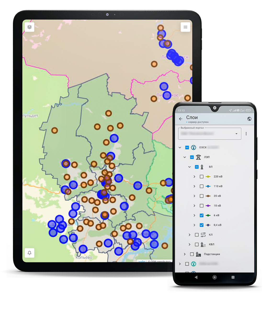
Относится к классу программного обеспечения «Геоинформационные и навигационные средства (GIS)» и является подсистемой, дополняющей и расширяющей функциональные возможности программного комплекса «AirLay». Программное обеспечение устанавливается на мобильные устройства (смартфоны, фаблет устройства и планшеты с модулями сотовой связи) пользователей и предоставляет инструментарий для фиксации и передачи в базовый программный комплекс сведений об обследованиях с геопривязкой и фотоотчетами.
Повышение контроля и эффективности процессов, связанных с ГИС для бизнеса, и позволяет достичь следующих эффектов:
1
Исключение бумажного документооборотапри сборе данных в ходе выездных работ
2
Сокращение трудозатратза счет минимизации ручного ввода данных в информационные системы и их последующей обработки
3
Повышение точности данныхв результате снижения количества ошибок, связанных с ручным переносом информации
4
Усиление контроляза счет повышения прозрачности распределения задач, исполнения поручений и перемещения персонала
5
Сокращение времени сбора данныхв полевых условиях
6
Адаптивность и оперативность трансформации процедурблагодаря гибким инструментам конфигурирования и формирования отчетности